7/25
Catching a ride with Eggman back to the trail, we started walking again around 5 PM. We were anxious to meet our friends Lovebird and Raven for a birthday breakfast in Drakesbad the next morning, so we pushed a quick 10 miles to Domingo Springs Campground, leaving just 8 for the AM. Forest gave Adam his birthday gift (candy and then we stayed up late (10 PM) chatting with hiking partner, Jack Daniels.
10 PCT miles, 1346 S->N
7/26
Up at 5! We moved quickly today trying to reach Drakesbad Resort by 8:30. On the way, we entered beautiful Lassen Volcanic National Park , passing by Boiling Lake hot springs
25 PCT miles, 1371 S->N
 |
| Boiling Lake |
 |
| Birthday Boy by the Pool |
 |
| Lassen Peak |
7/27
Up at 5 AM again to attempt to beat the heat, we cruised the 7 miles to Old Station where we snacked and hydrated before taking off for a long, shadeless, HOT day on the Hat Creek Rim. Approaching the rim, we ran into a grumpy 13 yr old Diamondback rattler right on the trail. Due to the extreme temperatures and 30 mile waterless stretch on the rim, most hikers either night hike or leave early in the morning to beat the heat. By the time we reached the actual rim, it was already 11 AM. We pushed on into the heat of the day with views of Lassen Peak behind us and towering Mt. Shasta Mt. Shasta has been known to cause the “California Blues” because it is within site distance for about 300 miles of the PCT before exiting the massive state of California
37 PCT miles, 1408 S->N
 |
| Coiled Up! |


7/28
A little slow after the long, hot day yesterday, we hit the trail around 7. 8 easy miles brought us to HWY 299, where we ran into Pine and Top Shelf hitching into Burney. Soon, we caught up to two of our favorite people, Raven and Lovebird. We rolled together to Burney Falls State Park
21 PCT miles, 1429 S->N
 |
| Bert and Lovebird Desperate for a Ride |
 |
| Sweet Ride! |
 |
| Not So Sweet.... |
7/29
We practically jumped out of bed as logging trucks came engine braking around the corner at 5 AM. Certainly not the start we wanted. The four of us climbed easily through a logging operation that reminded us of the horrific scene in Fern Gully, complete with oil spewing bulldozers. Luckily the bulldozers or the boulders they were accidentally sending down the slopes didn’t hit us. Lilies dotted our trail and ridge walking gave us incredible views of the now, not-so-distant, Mt. Shasta
31 PCT miles, 1460 S->N
 |
| Mount Shasta |

 |
| Layers and Layers of the Cascades |
7/30
We started our day with heat and bugs at around 6 AM. A hazy, blazing hot ridge walk followed, and we took breaks often to escape the sun. The day drug on monotonously as we mostly descended through thick stands of poison oak across many gullies. We were surprised at lunch to find some day hikers near the McCloud River
30 PCT miles, 1490 S->N
7/31
We began our day with a quick 6 mile climb wrapping in and out of ridges and offering occasional spectacular views of snowy Mt. Shasta Sacramento River Bridge Mt. Shasta Ashland , OR Mt. Shasta
16 PCT miles, 1506 S->N.

 |
| Adam and Sharron--the Caretaker of Mount Shasta |
 |
| Sunset from I-5 |
8/1
We woke fast at our stealth camping spot in the KOA campground at 5:30 and were out shortly thereafter. No harm done, and free lodging! After a huge breakfast at the Black Bear Diner, we took to the on-ramp again, this time trying for over an hour to hitch before deciding to try something different. While sitting by the food co-op, we were offered a ride by a nice lady! Perfect timing too, as we were afraid we would be stuck in Mt. Shasta Klamath Mountains , making a wide westward arch around the ever looming, Mt. Shasta Sacramento Rivers
25 PCT miles, 1531 S->N
 |
| Castle Crags |
8/2
Definitely one of our most enjoyable days on the trail thus far, we were gifted with beautiful trail, weather, and sights from the Klamath Mountains Deadfall Lakes Mt. Shasta, to trickling Chilcoot Creek. We pushed on with fast, easy terrain to a gorgeous, ice cold spring surrounded, by azaleas, lilies, and ferns for dinner. 4 miles later, we were in awe with a brilliant sunset from a rocky ridge where we relaxed and made camp. Our second favorite campsite of the entire trip!
33 PCT miles, 1564 S->N
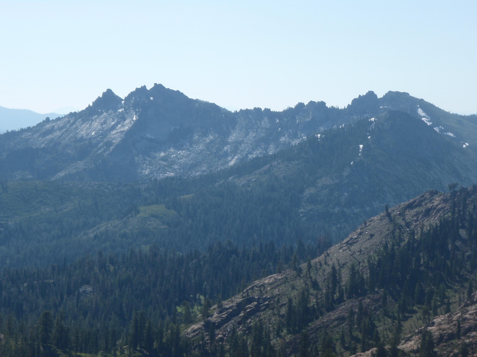
 |
| Castle Crags with Lassen Peak Hiding in the Haze |
 |
| Bull Lake and Looming Shasta |
 |
| Sunset from Rocky Ridge in Klamath NF |
8/3
We both heard the alarm, but our comfortable little nest atop the ridge was too nice to leave. Finally rolling out of bed at 6 and leaving by 6:45, we descended hard and entered the Trinity Alps Wilderness at a roadside trail head. Climbing now for 1200 ft, with steeper, rockier trail than yesterday, we got extremely hungry! For the rest of the day, we stopped every 4-5 miles to eat something. We topped out at 7400 ft after 12 miles. The rest of the day we spent eating, ascending and descending steeply, entering the Russian Wilderness late, and passing by Statue Rock. Today, we pushed hard, covering 31 miles by 6:30, eating then, and pushing on for two more to camp along with section hiker, Bob, a cool cat from Eugene , OR Forest ’s feet smell like a combination of yak crap and baby vomit.
33 PCT miles, 1597 S->N
 |
 |
| The Statue |
8/4
Waking at 6, we easily descended our last 9 miles of this leg to Etna Summit, where we caught a quick ride in the back of a pickup for 15 miles down-canyon to the quaint, little town of Etna PO , grocery store, and all the restaurants in town! Only 93 miles to the California/Oregon
 |
| New Wildflower in the Russian Wilderness |
 |
| Sporting Our New T's in Etna! |
Seiad Valley, CA--57 miles (8/6)
Ashland, OR--65 miles (8/9)
Crater Lake, OR--103 miles (8/14)
Sisters, OR--154 miles (8/18)
Cascade Locks, OR--166 miles (8/24)
Due to a tight schedule, any mail should be sent to Cascade Locks, OR.
We are looking forward to enjoying our last days in California, but we are also stoked to get to Oregon! Here's to Camp AmeriKids! Spread the word. Spread the love.
Much Love,
F+A
No comments:
Post a Comment